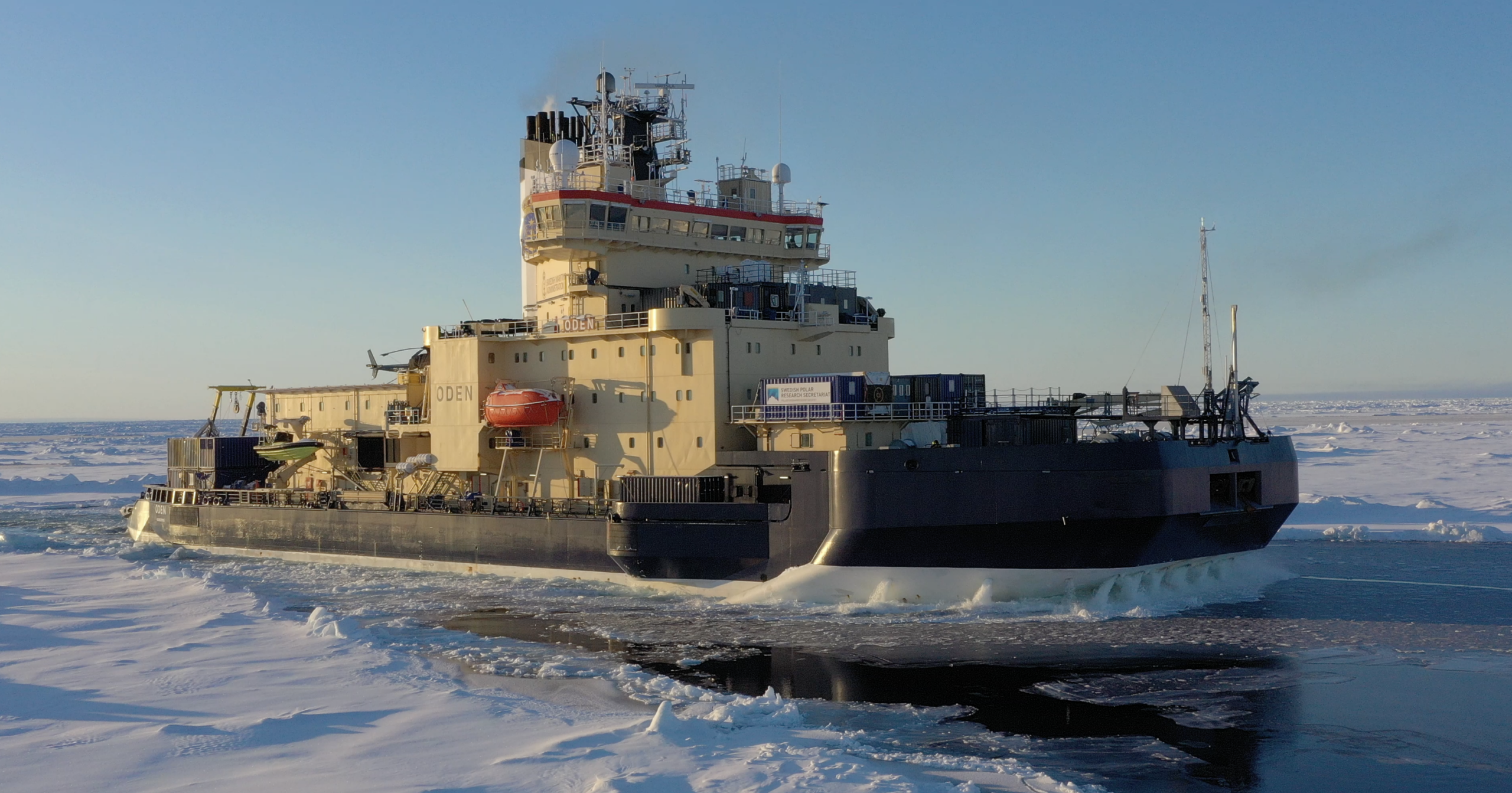
During this year’s expedition with the icebreaker Oden, researchers in Polar Connect made significant progress in mapping the seabed in the central Arctic Ocean. The expedition is part of the project’s preparations to enable the laying of a submarine cable for fast and secure data communication between Europe and Asia. The cable will also be equipped with sensors for research and environmental monitoring in the Central Arctic Ocean.
“The Arctic is the Arctic, and you never know exactly in advance what ice conditions you will encounter. But I would say that it went well and according to our preliminary plans for this year’s measurements. Given the ice conditions, we managed to carry out a large part of the planned mapping of the underwater ridges along the intended cable route”, says Katarina Gårdfeldt, Director of the Swedish Polar Research Secretariat who coordinated the research on board.
Knowledge that enables a safe and sustainable route
Mapping the seabed provides essential knowledge for building new infrastructure in one of the world’s most remote and challenging regions. Understanding the topography and geological conditions of the seabed helps ensure that the cable is laid along a safe and stable route and avoids hazardous areas.
“It is both about choosing the right cable type and avoiding areas with geohazards, such as unstable slopes, strong bottom currents, volcanic activity, earthquakes, icebergs reaching the bottom, or areas with intense human activity”, says Martin Jakobsson, Professor of Marine Geology and Geophysics at Stockholm University.
Next steps in the mapping
Almost 1,700 kilometres of the planned cable route have now been mapped, corresponding to about 45 per cent of the route through the Central Arctic Ocean. In areas with more complex bottom topography, especially at underwater ridges such as the Gakkel Ridge and the Alpha Ridge, or where sea-ice conditions severely affect data quality, multiple passes will be required to create a sufficiently detailed image of the seabed.
The next step in the mapping will be to fill in the remaining gaps along the route. This year, the measurements focused on the Alpha Ridge, Lomonosov Ridge, Gakkel Ridge and Yermak Plateau, but additional areas along the entire stretch between Lomonosov Ridge and the Bering Strait will be mapped during future expeditions.